
Magnet Geological
Geological Intelligence for Investors, Lenders & Trustees™
Magnet Geological: Where geoscience meets strategic decision-making.
Intrinsic Land Evaluations, Real Estate Consulting
Geological Exploration and Site Selection Investigations
Magnet Geological provides intrinsic land evaluations and consulting for global real estate, including geological exploration and consulting for oil and gas, carbon saline sequestration, floodplain analysis and critical mineral / rare earth element assessments. Through geochemical testing of water and surface sediments, this approach enhances investment valuation by identifying both opportunities and risks beyond traditional real estate valuations.
"Intrinsic Land Evaluation" is the disaggregation and comparison of the net native or natural attributes of a property in comparison to its market value. It includes positive attributes such as groundwater, petroleum, carbon sequestration, critical minerals, sand and gravel aggregate, urban, commercial or rural development potential. It also includes the negative attributes such as floods, fires, landslides, caverns, sinks, expanding clays and other geohazards and georisks.
Email Magnet@MagnetGeological.com for Questions and Assistance!
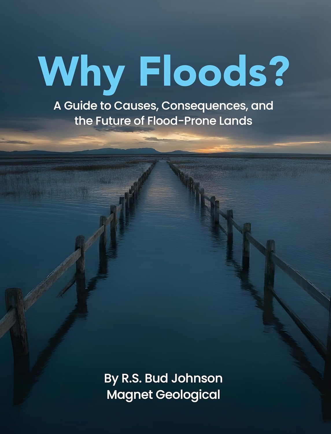
Who Should Read Why Floods?
Why Floods? is written for anyone who makes decisions about land, buildings, infrastructure, property value, or public safety. Flood risk is not only a technical issue for engineers or floodplain administrators. It affects home buyers, rural landowners, investors, lenders, insurers, developers, public officials, designers, utility operators, educators, and communities.
The book helps readers understand how floods form, why flood maps can miss important risks, how landscape position controls vulnerability, and why water, sediment, infrastructure, and human decisions must be considered together.
Why Floods? is especially useful for:
Real estate and land ownership
Home buyers, homeowners, waterfront purchasers, rural landowners, brokers, agents, investors, property managers, developers, land bankers, home builders, site-selection consultants, and due-diligence professionals.
Finance, lending, insurance, and risk
Loan officers, bankers, mortgage companies, commercial lenders, appraisers, insurance agents, underwriters, private risk advisors, trustees, and family offices.
Government, planning, and infrastructure
City managers, county officials, planning boards, floodplain administrators, emergency managers, public works directors, road and bridge engineers, pipeline and utility companies, and dam and levee managers.
Engineering, design, science, and education
Civil, stormwater, and geotechnical engineers, architects, surveyors, GIS professionals, educators, professors, students, journalists, outdoor recreation groups, community planners, and science-minded readers.
In short, Why Floods? is for people who need to see beyond the floodplain line and understand the real landscape forces that shape flood risk.

Unearth the Potential...
Whether you're exploring for valuable resources, managing land sustainably, or mitigating geological hazards, we can provide valuable insights and solutions with geological and scientific consulting.
Let's discuss your specific needs and unlock the full potential of your land. We offer holistic and comprehensive consulting services for geology, geophysics, geochemistry, remote sensing, and agriculture, ensuring a holistic approach to your land challenges. Contact us today and turn land challenges into informed decisions for a sustainable future.
Land Challenges? Get Solutions!
Contact us today and see how together we can transform your challenges into informed decisions.